We provide comprehensive underwater mapping and charting of physical features and conditions of water bodies. This includes measuring water depth, identifying navigational hazards, and mapping the seabed for various purposes such as navigation, engineering, and resource management.
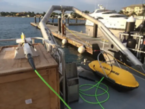
We investigate the physical properties and structure of the Earth's subsurface using advanced techniques. Our services include Side Scan Sonar, Multibeam Echo Sounder, Sub Bottom Profiler, and Magnetometer
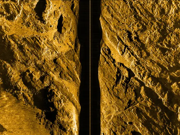
Delivering detailed acoustic imagery, our side scan sonar surveys reveal intricate seabed features, identify submerged objects, and provide critical data for infrastructure inspections, archaeological investigations, and environmental assessments. We utilize variable frequency systems to optimize resolution and range.
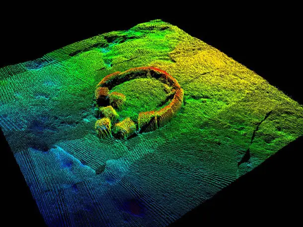
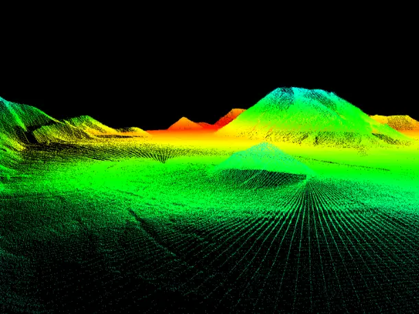
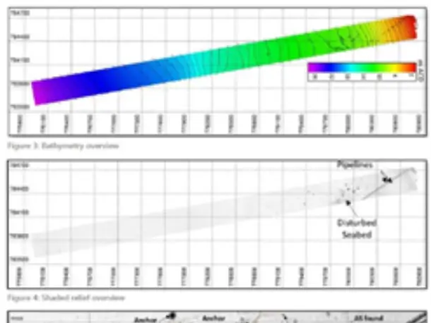
Our multibeam echo sounder surveys provide comprehensive bathymetric data, creating high-resolution 3D models of underwater terrain. This technology is essential for accurate depth analysis, navigation safety, dredging operations, and offshore construction projects. We provide fully corrected data sets, and can provide many different data output types.
We employ sub-bottom profilers to penetrate sediment layers, revealing subsurface geological structures and detecting buried objects. This technology is vital for geotechnical investigations, pipeline routing, cable laying, and environmental impact studies. We can provide data that displays the different sediment layers, and any objects buried in the sediment.
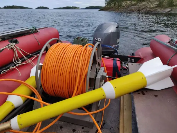
Our high-sensitivity magnetometers detect ferrous anomalies, enabling the identification of pipelines, cables, unexploded ordnance (UXO), and other metallic objects. This technology is critical for ensuring safety and environmental protection in marine environments. We provide detailed anomaly reports, with locations and estimated sizes of objects
We offer precise measurements and data collection to guide and monitor construction projects. Our services ensure accuracy and compliance with design specifications, from initial site surveys to as-built surveys.
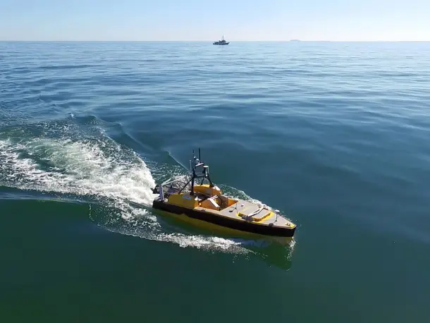
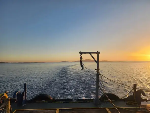
We utilize autonomous or remotely operated boats equipped with advanced sensors and navigation systems. USVs enable efficient and cost-effective data acquisition in marine environments, even in challenging or hazardous conditions.
We convert raw survey data into accurate and user-friendly charts, maps, and digital models. Our services support navigation, planning, and analysis for a variety of applications.
We offer a system for capturing, storing, analyzing, managing, and presenting spatial or geographical data. GIS enables visualization and interpretation of complex information, supporting informed decision-making.

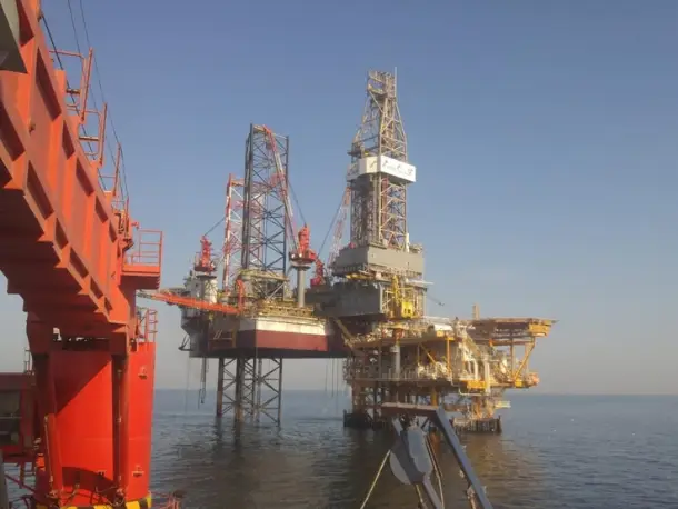
Skilled office and field-based staff with extensive experience in the oil & gas and renewable energy industries, tailored to meet our clients' needs.
